LIMA URBAN ANALYSIS
Location// Colombia
Type// Urban Analysis, Grasshopper,Galapagos AI
Team// Sebastian López, Diego Serna.
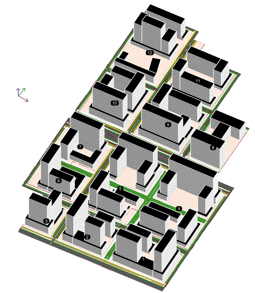
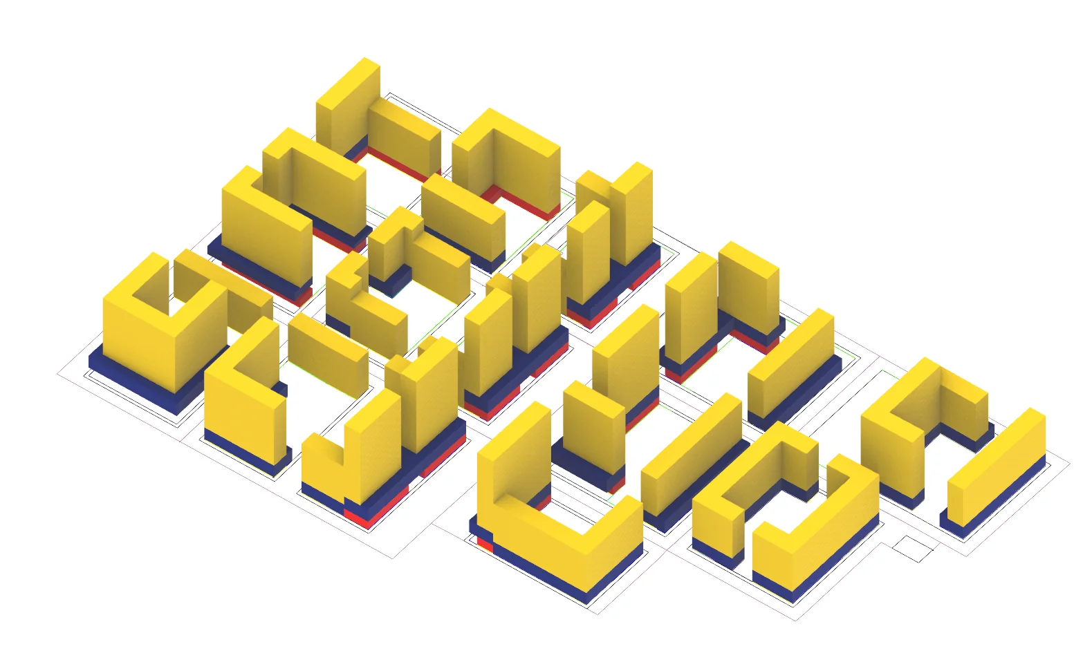
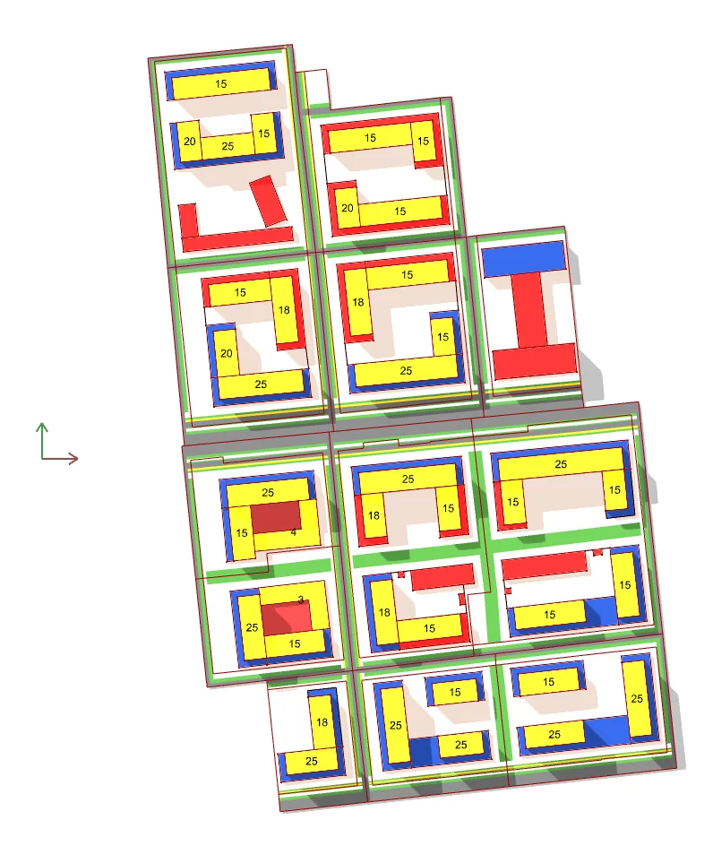
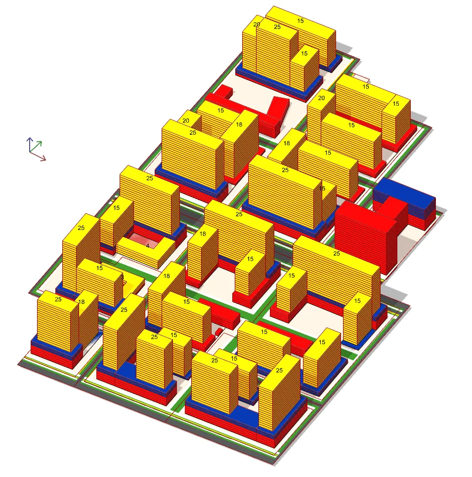
This urban analysis and regeneration project focused on the strategic relocation of an industrial district to make way for a comprehensive mixed-use master plan. The primary objective was to bridge spatial design and financial viability by establishing a direct, live connection between the urban massing model and the underlying budget and quantity surveying spreadsheets. To support evidence-based decision-making, the workflow required every volumetric variation to immediately reflect its financial impact on total development cost and revenue potential.
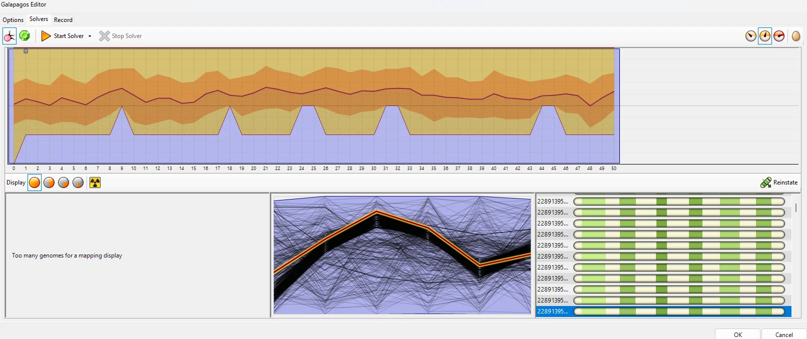
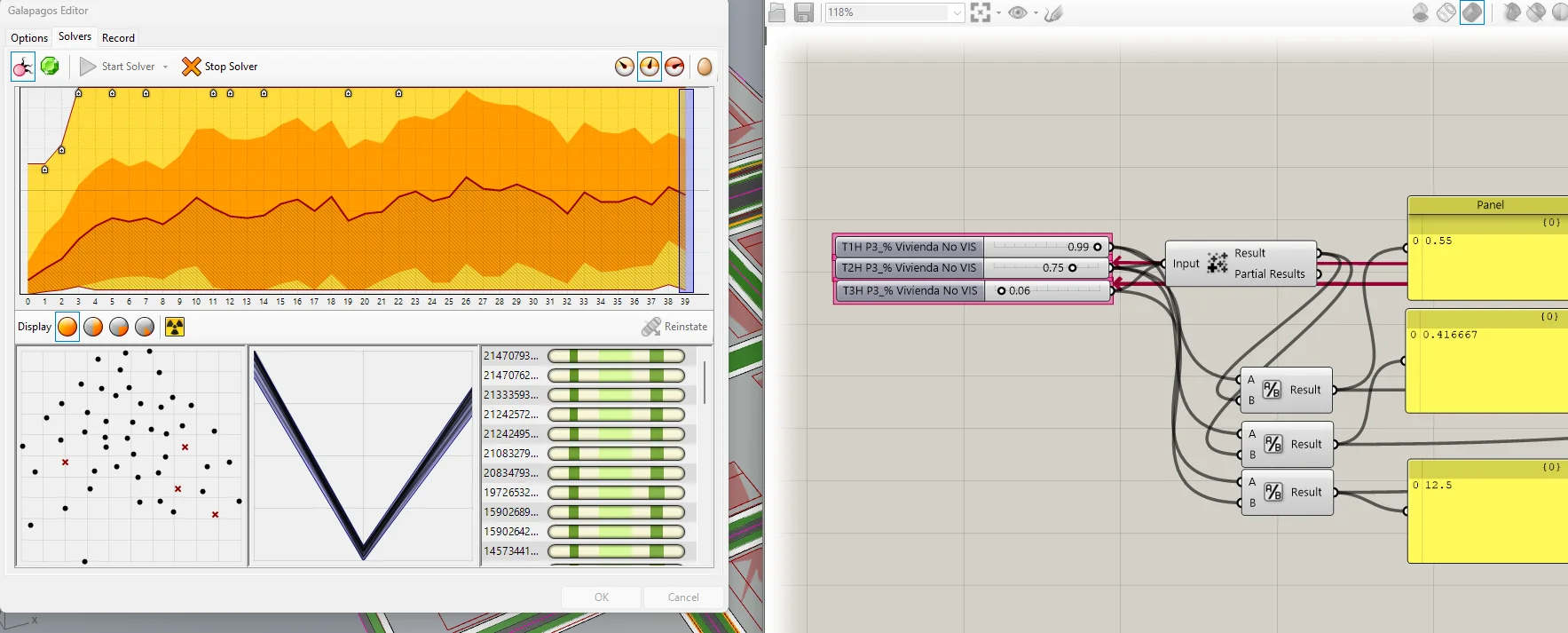
I developed a fully editable Grasshopper script that served as the core engine for design iteration and real-time financial tracking. The central technical challenge lay in interpreting complex urban, formal, and zoning principles—such as FAR, density, and open space ratios—and translating them into parametric logic. The script dynamically managed geometric variations, clash resolution, and program distribution, automatically feeding updated metrics into Excel as design parameters shifted.
The resulting pipeline created a seamless, two-way feedback loop between 3D design exploration and financial feasibility modeling. By automating quantity takeoffs and budget updates directly within Excel, the workflow enabled stakeholders to rapidly evaluate multiple development scenarios, optimize land use efficiency, and validate project economics without sacrificing spatial quality or conceptual intent.
R.D. URBAN ANALYSIS
Location//Colombia
Type// Urban Analysis, Grasshopper, AI
Team// Sebastian López, Diego Serna, Sofia Gomez.
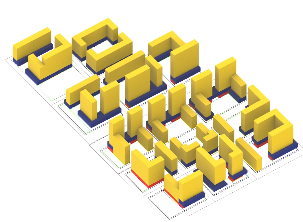
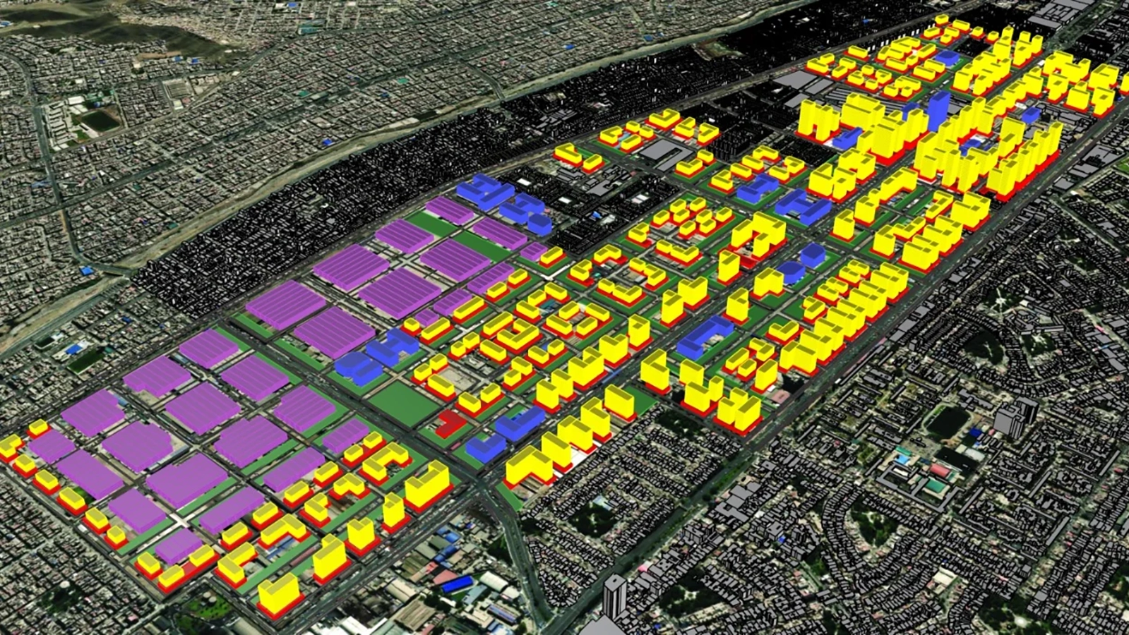
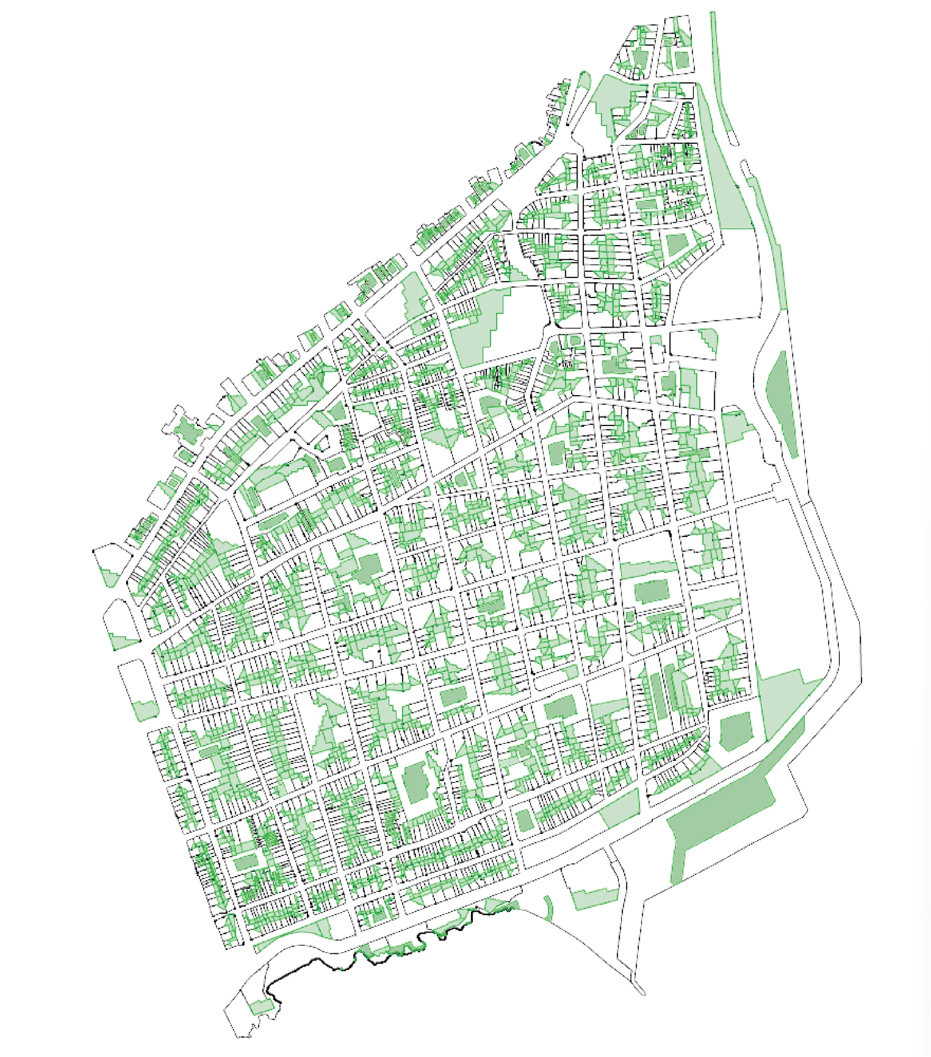
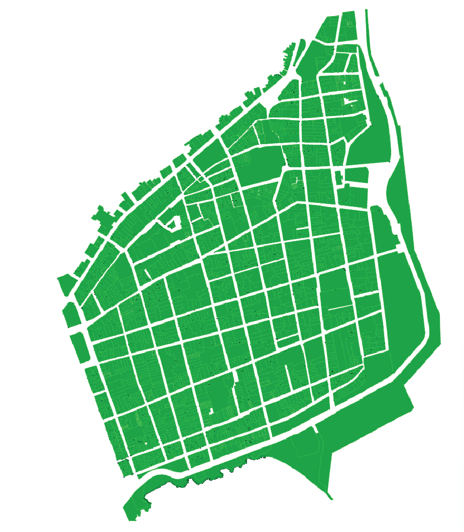
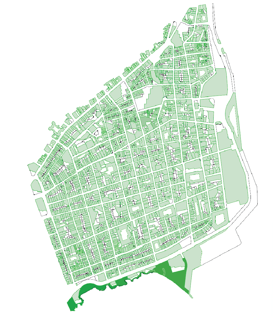
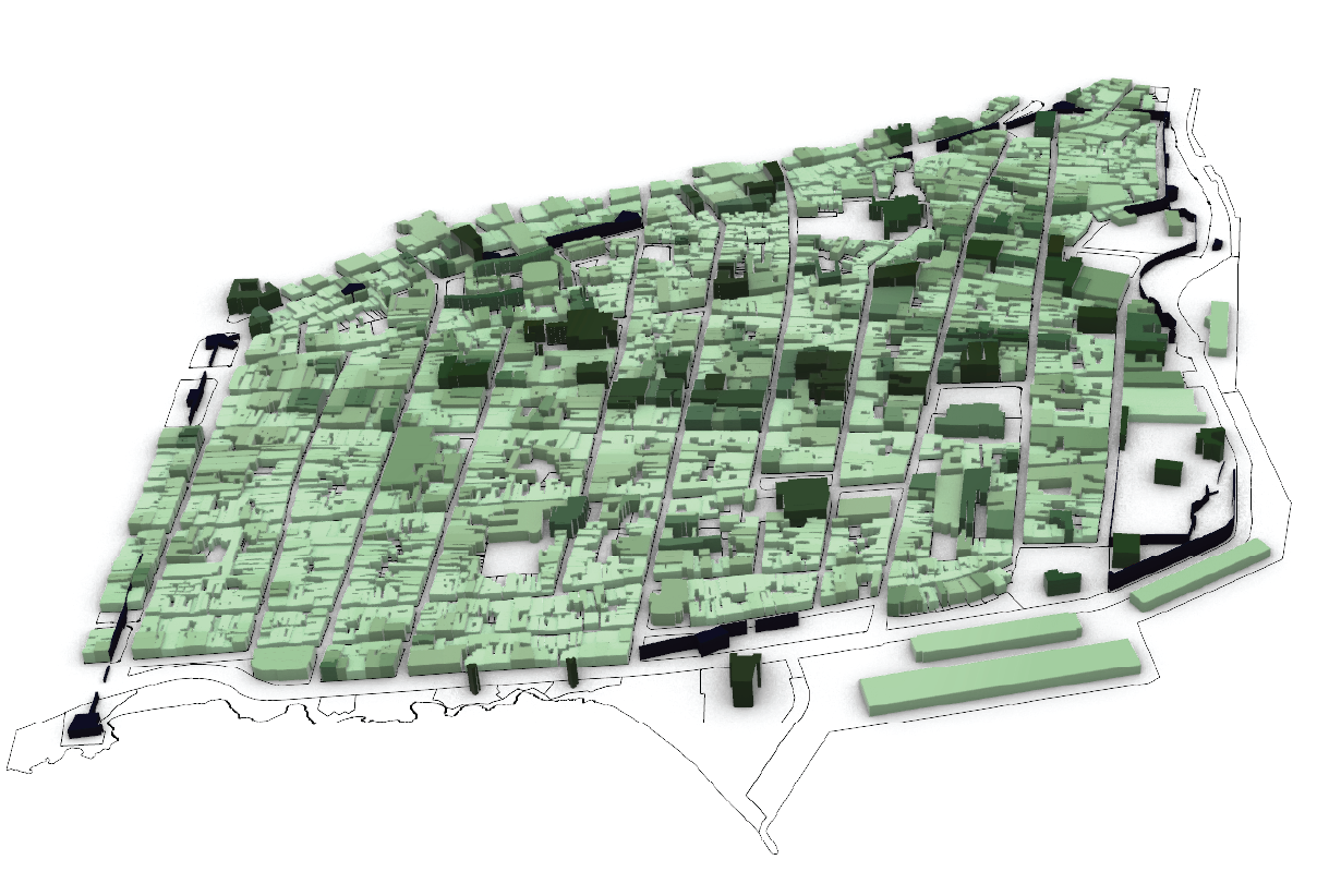
I led the Grasshopper workflow to generate optimal geometry for 2,700 land parcels in Santo Domingo, evaluating city-scale development opportunities. The script parameterized complex constraints, including multiple buildings, 12 landscape units, and 8 typologies, while remaining flexible for future regulatory changes.
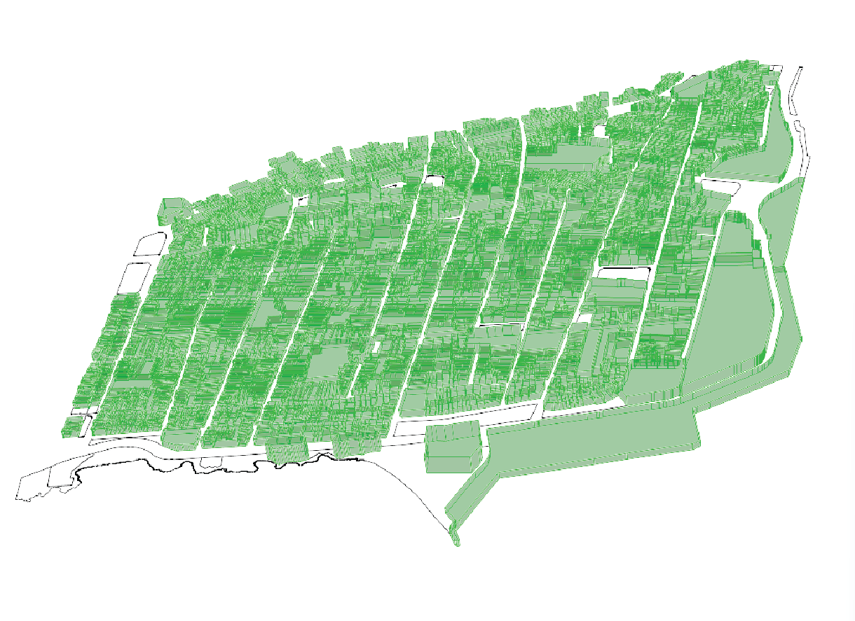
To execute the workflow, we structured the dataset by block and parcel to generate base extrusions. Diagonal control planes regulated allowable enclosures and trimmed required voids, while heights were assigned by zone using statistical benchmarks to create evidence-based envelopes. The main technical challenge was managing complex data structures and strict list filtering to match each item to its correct block and zone.
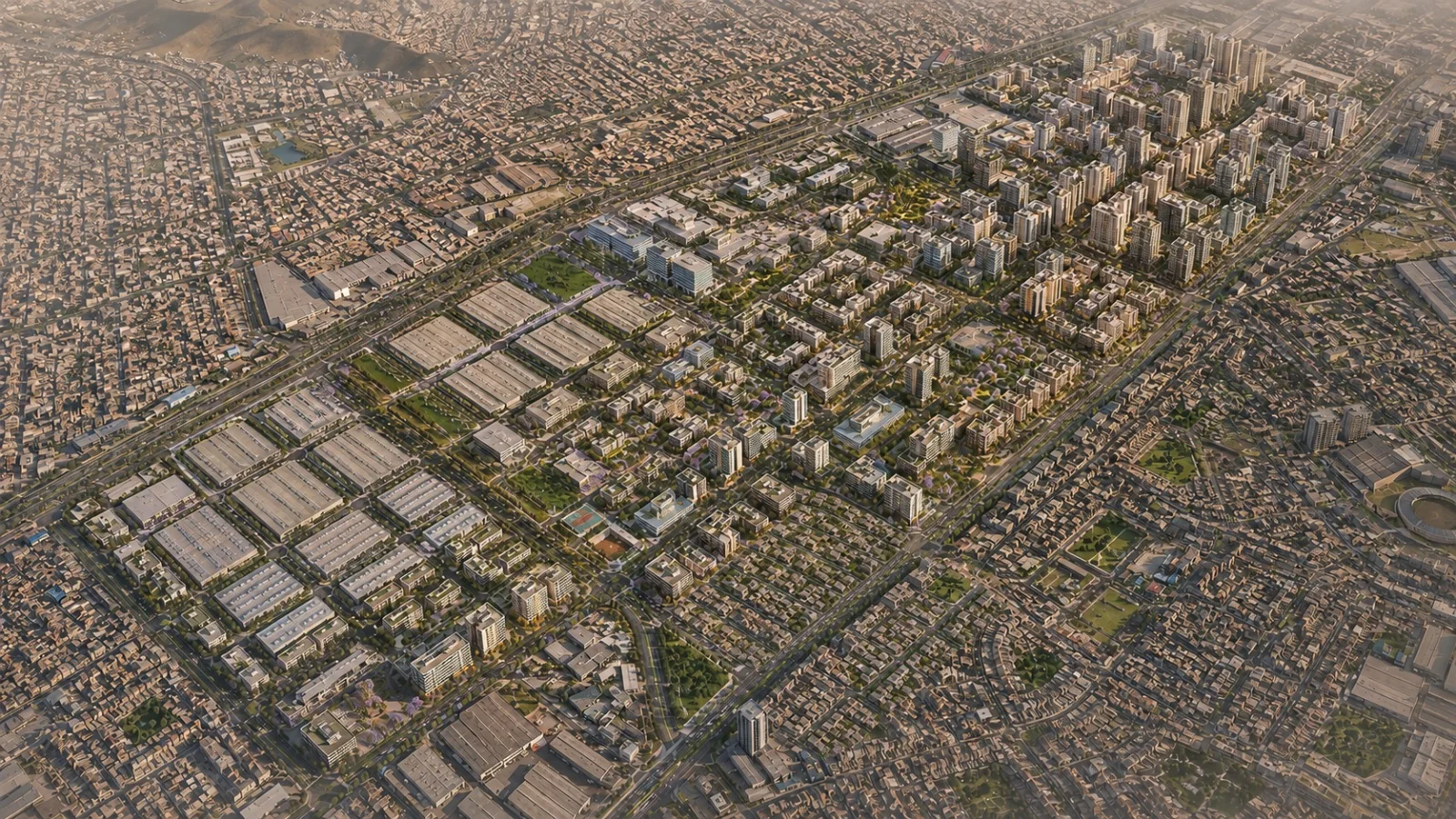
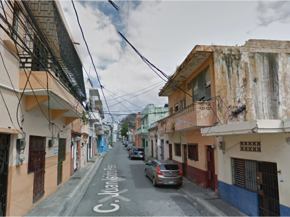
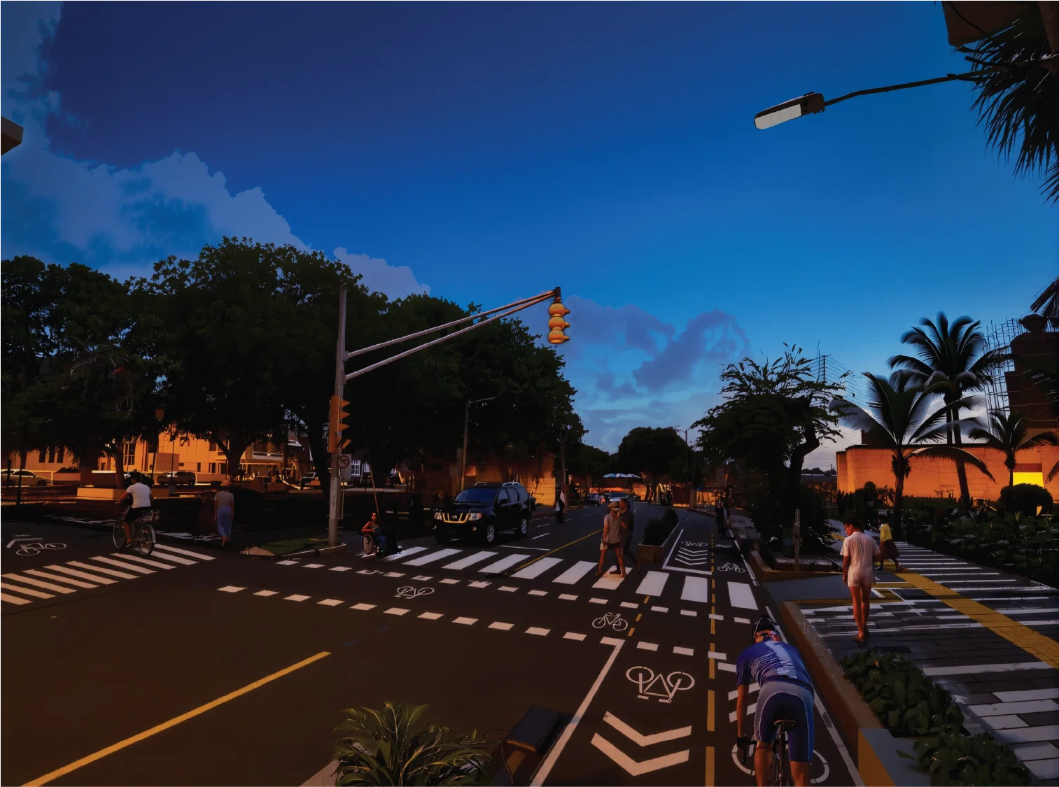
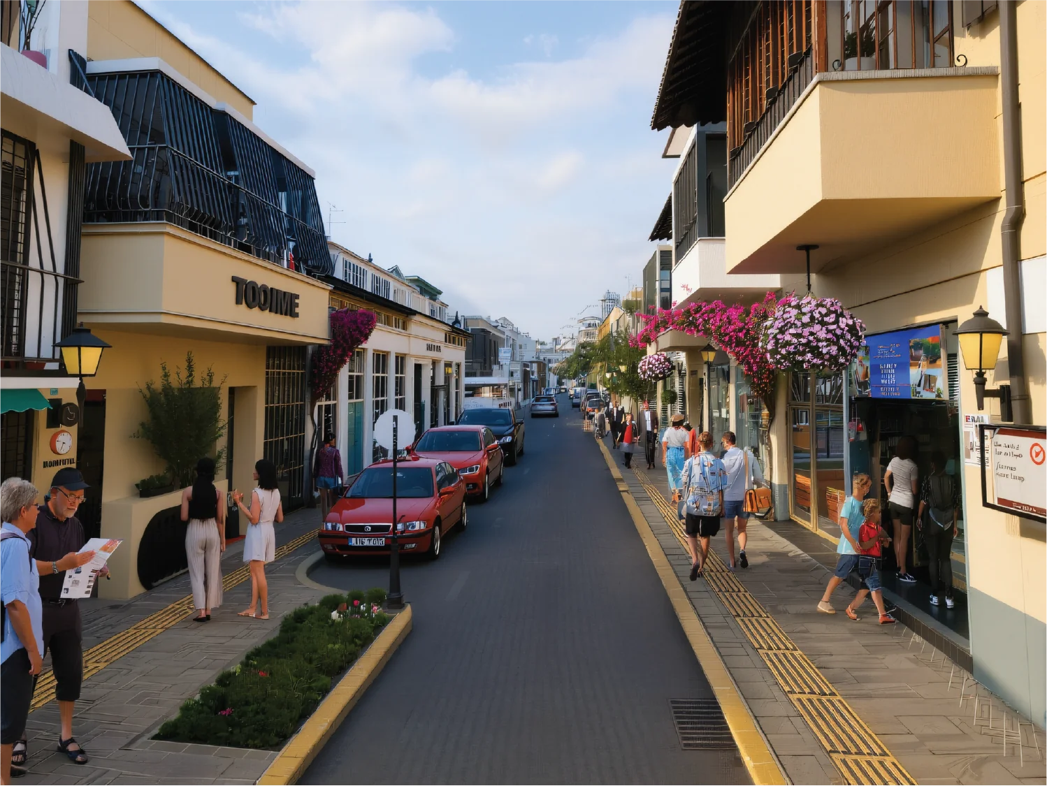
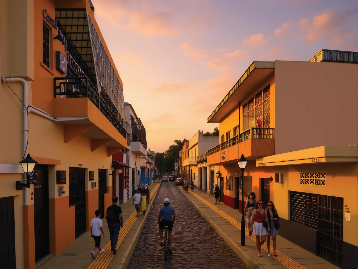
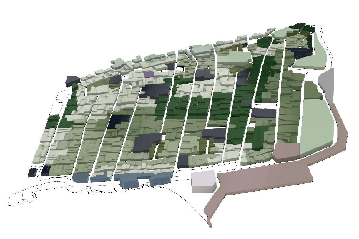
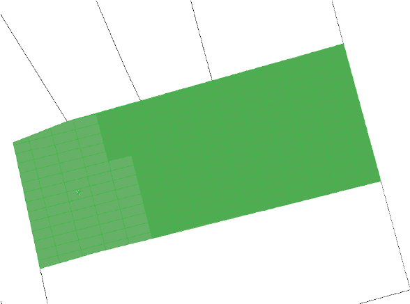
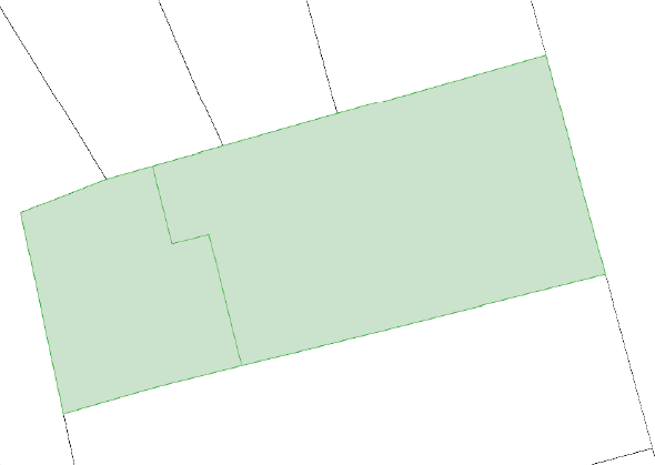
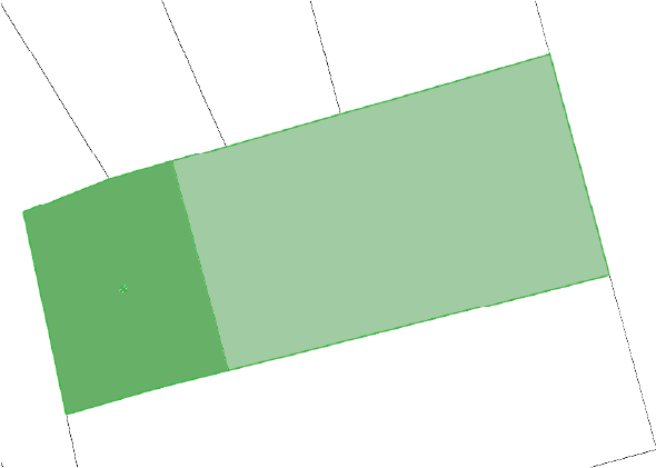
As key deliverables, the pipeline generated base 3D massings for each lot along with 3 study area versions: existing condition, proposed height, and proposed height with corrected voids. In parallel, automated Excel reports exported 8 key fields per lot to calculate minimum and maximum allowable areas for comparative review. Finally, I proposed and implemented ComfyUI to produce illustrative renders, setting up prompts, camera framing, and materials.